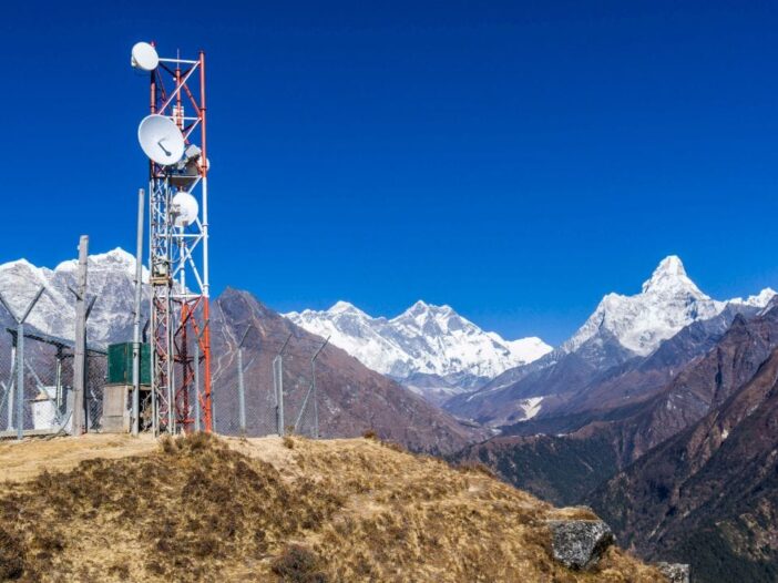
To respond to China’s increasing military activities, India is preparing a multi-layered surveillance network on the Himalayan border. Spread from Ladakh to Arunachal Pradesh, this network will be able to continuously monitor enemy activities even in all weather conditions and difficult hilly areas. In fact, after the Galwan conflict of 2020, India has decided to rapidly strengthen its surveillance capability. On the other hand, China has deployed new airbases, drone bases, bunkers and air defense systems in Tibet and Xinjiang. In view of these challenges, India is now developing modern surveillance systems instead of relying only on fighter planes and missiles.
This network of India will work at many levels. Above all, satellites like CARTOSAT, RISAT, EOS and EMISAT will keep an eye on every activity on the border. These satellites are capable of taking photographs even amidst clouds and snow and detecting enemy radar signals. Airborne early warning aircraft like Netra AEW&C and Falcon AWACS will monitor the sky. The upcoming Netra Mk-2 will be able to track enemy aircraft, drones and stealth fighters over longer distances.
Deploying Electronic Intelligence Systems
On the ground, India is deploying Mountain Radar, Arudhra Medium Power Radar, Ashwini AESA Radar, Bharani and Low-Level Lightweight Radar Mk-II. These radars can also detect helicopters, drones and planes flying at low altitudes between mountains. Apart from this, India is also deploying passive sensors and electronic intelligence systems, which can detect enemy radar and communication activities without sending any signal. This will also help in detecting the presence of stealth fighter aircraft like China’s J-20 and future J-35.
IACCS will operate the entire network
This entire network will be operated by the Integrated Air Command and Control System (IACCS). This system will provide a real-time picture to the army by combining information received from satellite, radar, AWACS, sensors and fighter aircraft, making threat identification and response faster than ever before.
AI will also be used in the future
In the coming time, Artificial Intelligence (AI) will also be used in this network. The AI will analyze the threat, predict possible flight paths and suggest immediate action to the army. Overall, India is preparing such a high-tech surveillance shield on the Himalayan border, so that every military activity of China can be continuously monitored and any threat can be responded to in time.
Also read: One card, dozens of jobs! After the decision of Kolkata HC, know the full power of Aadhaar card

Leave a Reply