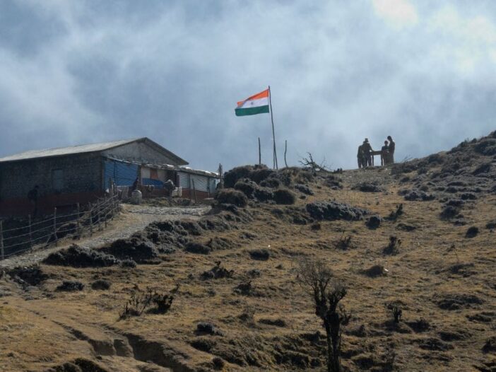
The border dispute between Nepal and India has once again gained momentum. The uproar in Nepal’s Parliament over Prime Minister Balen Shah’s statement had not yet subsided when ruling party RSS President Ravi Lamichhane has reached New Delhi. Lamichhane is coming here and trying to resolve the border dispute. According to Indian Foreign Ministry spokesperson Randhir Jaiswal, 98 percent of border disputes between the two countries have been resolved. However, due to change in the course of Gandak river, some disputes remain, which both the parties can easily resolve through mutual dialogue.
Nepal and India The border dispute between Nepal started around 2020, when Nepal staked its claim on Kalapani. Nepal said that under the Sugauli Treaty, mapping of Kalapani and Lipulekh was done wrongly and these areas are actually part of Nepal.
After this, both Nepal and India presented their respective claims. According to these claims, there are 3 such rivers whose changing of course deepened the border dispute between the two countries.
First understand the Sugauli Treaty
Sugauli Treaty was signed on 4 March 1816. At that time, the British rule had decided the border between India and Nepal by keeping the rivers at the center. There is a border of 1751 KM between Nepal and India. Which is completely open.
According to the claim, during the treaty, the then Maharaja of Nepal Bikram Shah had donated land at many places to the British East India Company. This included the entire low-lying area between the Kali and Rapti rivers.
It is said that after border division, the total area of Nepal was 147,000 square kilometers.
Controversy over changing the routes of 3 rivers
1. Gandak River is known as Narayani River in Nepal. This river, about 700 KM long, originates from Tibet and joins the Ganga via Nepal. This river marks the border between Nepal and UP-Bihar of India. There is border dispute at some places due to change in its route in Susta area. According to Randhir Jaiswal, spokesperson of the Ministry of External Affairs of the Government of India, changes in the border have been seen at some places due to changes in the flow of the Gandak River.
2. Jamuni river marks the border between Madhubani district of Bihar and Nepal. According to Ratopati Media, this river has also changed its course since some years, due to which the concerned parties have encroached on its floodplains in their own way.
3. According to Nepali geographer Buddhi Narayan Shrestha, Sirsia river flows between Raxaul and Birgunj. When the Sugauli Agreement was signed, the river used to flow straight, but now the river has changed its direction. Due to this, some areas along the banks of the river have been captured by Nepal and some areas by Indian farmers.
Due to these reasons also there is dispute between the two
There is a dispute between India and Nepal regarding the origin of Mahakali river. In fact, it was said in the Sugauli Treaty that the area east of the Mahakali river would belong to Nepal, while the area to the west would belong to India. There is no mention of the origin of the river in the treaty. Nepal claims that the origin of Kalapani is near Limpudhara. Whereas India says that the origin of Kali River is the waterfall located near Kalapani. Due to this, Nepal claims 332 square kilometers of this area.
Another reason for dispute is occupation from across the border and encroachment on ‘no man’s land’. According to the spokesperson of the Ministry of External Affairs of India, we have established bilateral mechanisms to deal with all aspects of border matters. It should be clear to all parties concerned that no third party has any role in any bilateral matter between India and Nepal.

Leave a Reply