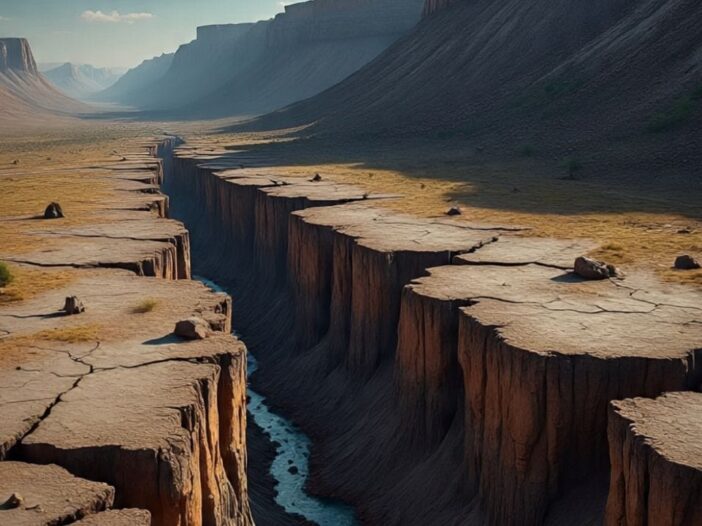
The earth’s map is moving towards a big change. According to scientists, such a slow but dangerous geological process is going on beneath the African continent, which can split it into two separate parts in the coming few million years. For the first time, a new magnetic investigation has found very clear evidence that the Earth of Africa is slowly but continuously exploding.
A recent study published in the Journal of African Earth Sciences shows that this crack is spreading from north-east to south as if the zip of a jacket is opening from top to bottom. During this time, signs of volcanic activity, earthquakes and stretching of the crust are continuously visible under the earth.
When will such a change happen?
According to estimates, this process will be completed after about 50 lakh to 10 million years and Africa will be divided into two large parts.
First Western Africa- Egypt, Algeria, Nigeria, Ghana, Namibia and second Eastern Africa- Somalia, Kenya, Tanzania, Mozambique, large part of Ethiopia.
For what reason is this happening?
This major land change happening in Africa is due to the world’s most famous rift system, the East African Rift. Whose length is about 4000 miles, width is 3040 miles and extends from Jordan to Mozambique. This rift is gradually separating the land and scientists believe that in the future this rift will cut big lakes like Lake Malawi and Lake Turkana into two parts.
Where the ocean of the future is being created
The researchers focused specifically on the Afar region where the Red Sea, the Gulf of Aden and the Ethiopian Rift form a triple junction. In geography, this is the place where continents first break. The magnetic data obtained from here (collected in 196869) was again read with modern technology. In this, layers of magnetic reversals of the Earth were found, similar to the age-identifying rings in trees or barcodes on any object. These marks show that once upon a time the seabed between Arabia and Africa used to spread and create new land.
Leave a Reply